


In 2003, the Russellville Park System Master Plan was created with the purpose of connecting active and passive facilities by a system of trail and bike paths. The goal was to provide a livable and walkable community, connecting parks and schools and to allow for safe routes to all areas of the city. Today, Russellville has accomplished many of the master plan's goals and continues to strive to make Russellville a walkable community, with opportunities for hiking, biking, running and walking trails.
Russellville is home to Arkansas Tech University, with more than 9,000 attendees it was important to ensure that the students are able to connect to the community and to get around safely. With the El Paso Avenue street improvements to include a full sidewalk with separated bike lanes, everyone now has the option to bike or walk into town or to commute to the university for special events.
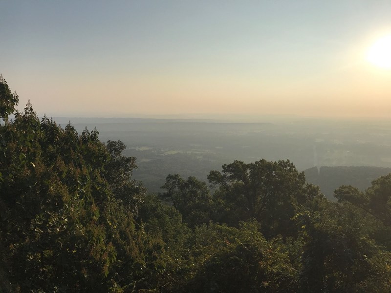
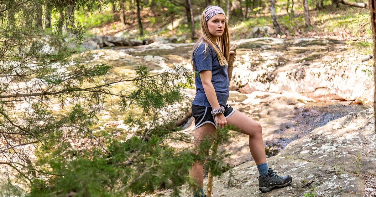
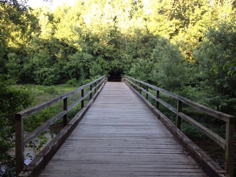
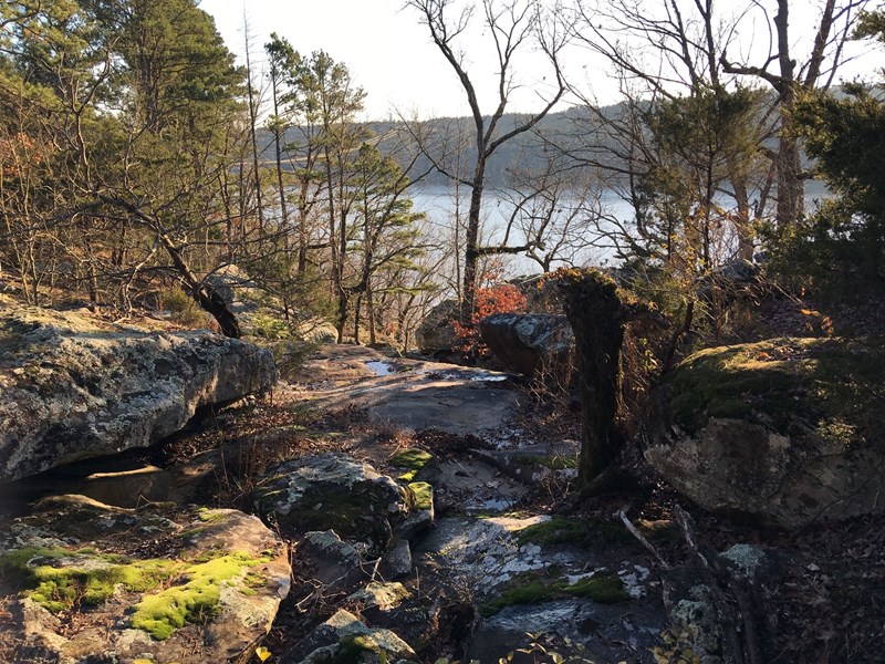
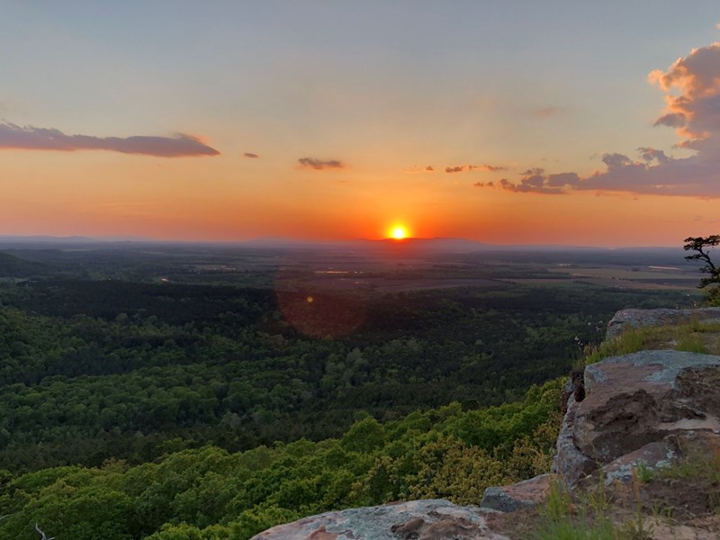
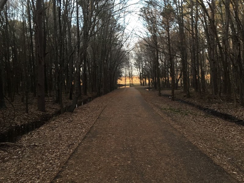
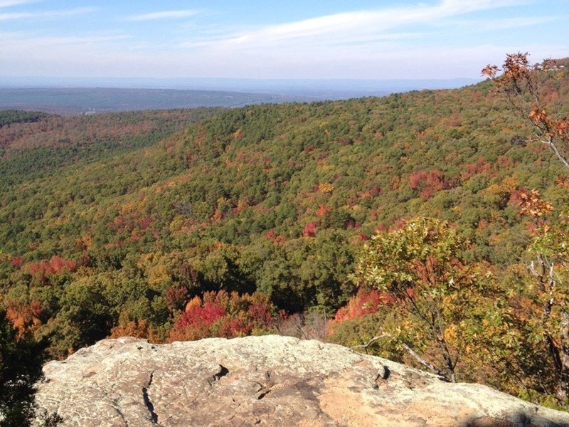
If adventure is your goal, one of the best ways to experience all the beauty Russellville has to offer is on one of our many hiking trails. The city has trails for every skill level, from paved and flat, looping through the city to a more advanced full day or more hikes through the three mountain peaks. One of the most memorable and popular trials would be the Bona Dea Trails and Sanctuary. This 186 acres of wetlands and low woods provide an ideal habitat for a wide variety of wildlife. Nearly six miles of trails wind through the sanctuary providing a multitude of recreational opportunities such as walking, jogging, nature photography, bird watching, and nature study. For a bit more of a challenge, hike one of the trails located at Mount Nebo. The 3.2 mile Rim Trail is a great place to start. The trail follows along the outer rim of Mount Nebo. While it is mostly a dirt path, there are still multiple elevations changes using natural stone steps. Take in the beautiful rock bluffs and enjoy the views of the Arkansas River Valley. On the north side of the trail, you can view Lake Dardanelle and the Arkansas River. On the south side don't miss the majestic forest views and the waterfall. Along the trail, you will also pass Sunrise Point and Sunset Point. They are appropriately named, so be sure you are there at the correct time of day.
Bona Dea Serendipity Trail
3.5 mi. / Level: 1
A moderately trafficked loop trail located near Russellville, Arkansas that features a lake and is good for all skill levels. The trail offers a number of activity options and is accessible year-round. Dogs are also able to use this trail but must be kept on leash.
Sugar Bowl
.9 mi. / Level: 3
A moderately trafficked out and back trail located near Russellville, Arkansas that features a lake and is rated as moderate. The trail is primarily used for hiking, walking, nature trips, and birding and is accessible year-round. Dogs are also able to use this trail but must be kept on leash.
Scenic 7 Byway South: Russellville to Hot Springs
69.6 mi. / Level: 1
Point-to-point trail located near Dardanelle, Arkansas that features a lake and is good for all skill levels. The trail is primarily used for scenic driving and is accessible year-round. Dogs are also able to use this trail but must be kept on leash.
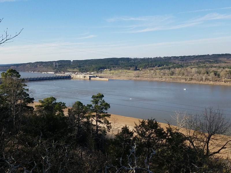
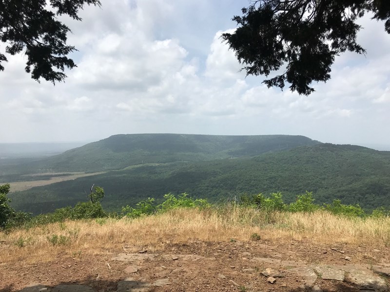
Dardanelle Rock
.4 mi. / Level: 3
Overlooks the Arkansas River and offers a view of Mount Nebo & Old Post Park from afar. The trail offers a number of activity options and is accessible year-round. Dogs are also able to use this trail but must be kept on leash.
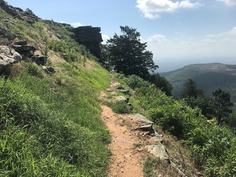
Mount Nebo Rim Trail
3.2 mi. / Level: 3
Near Dardanelle, Arkansas this trail features a waterfall. The trail is primarily used for hiking and is best used from March until October. Dogs are also able to use this trail but must be kept on leash.
Rabbit Run Trail
1.1 mi. / Level: 1
Rabbit Run trail is a paved urban hiking trail that a features a parcourse — a complete, do-it-yourself fitness program with 18 exercise stations spread throughout the trail system. The park's entrance is ADA accessible and offers public restroom facilities with ample parking.
Meadowbrook Self-Guided Trail
.8 mi. / Level: 1
A moderately trafficked loop trail located near Russellville, Arkansas that features a lake and is good for all skill levels. The trail offers a number of activity options and is accessible year-round. Dogs are also able to use this trail but must be kept on leash.
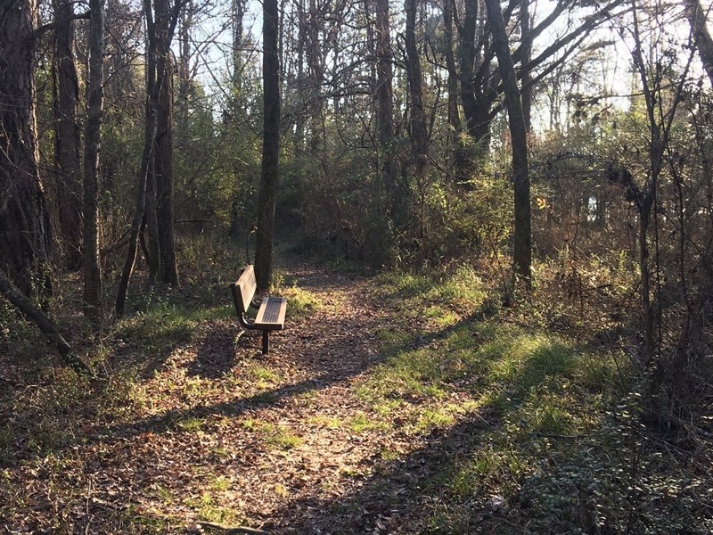
Bench Trail
3.6 mi. / Level: 1
Developed by the CCC in the 1930's using only hand labor and mules, this trail passes the seasonal waterfall en route from the Waterfall Overlook to Gum Springs. The trail offers a number of activity options and is accessible year-round. Dogs are also able to use this trail but must be kept on leash.
Summit Park Trail
1.6 mi. Loop / Level: 1
Summit Park Trail is a 1.6 mile loop trail located near Dardanelle, Arkansas that features a great forest setting and is rated as moderate. The trail is primarily used for hiking, walking, and trail running and is accessible year-round. Dogs are also able to use this trail but must be kept on leash.
Nebo Springs & Steps Trail
3 mi. / Level: 5
A delightful hike to moss-covered Nebo Springs begins behind the visitor center on the Rim Trail. Highly recommended for the historical significance and natural beauty, this loop is, however, strenuous. The stone enclosure of Nebo Springs, located directly below the bench, dates back to the 1800's.